
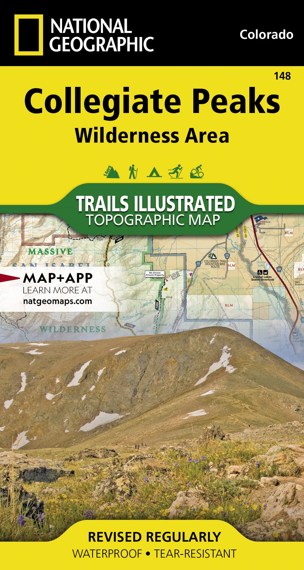


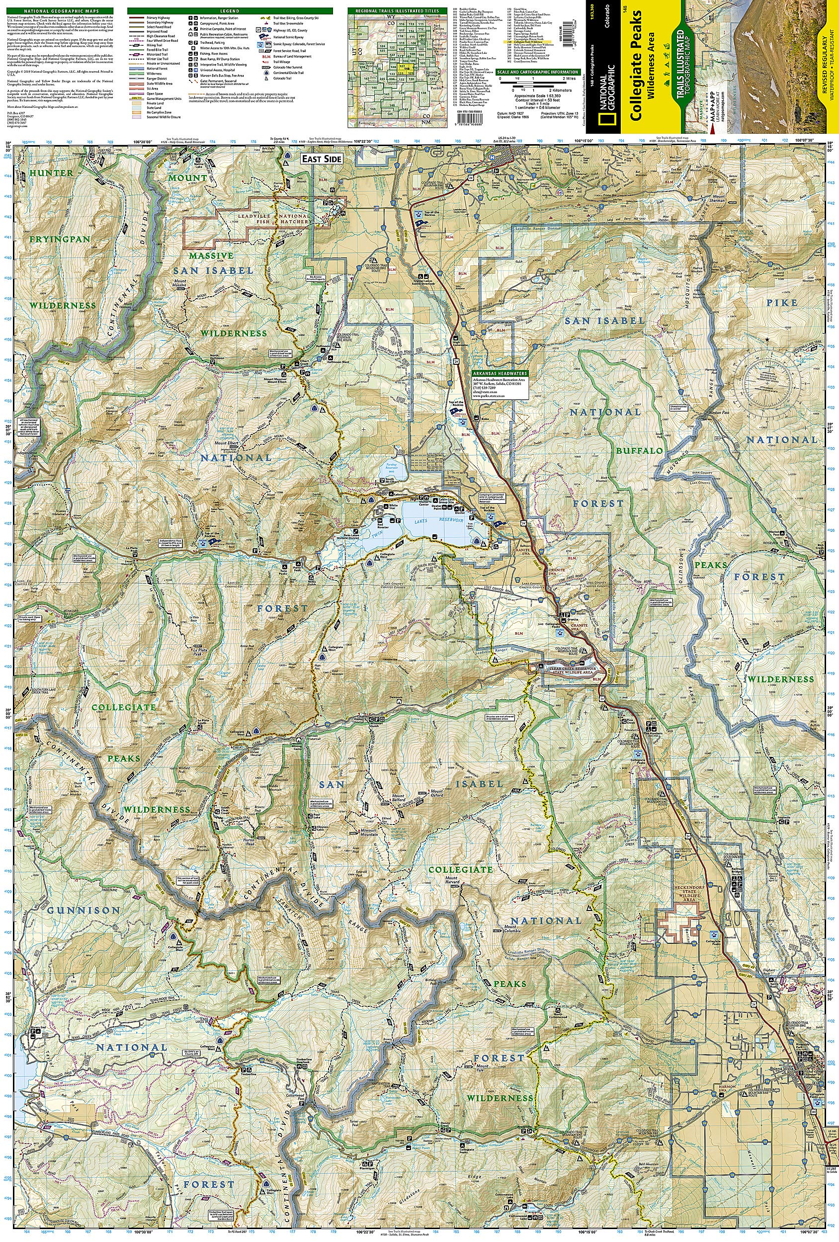
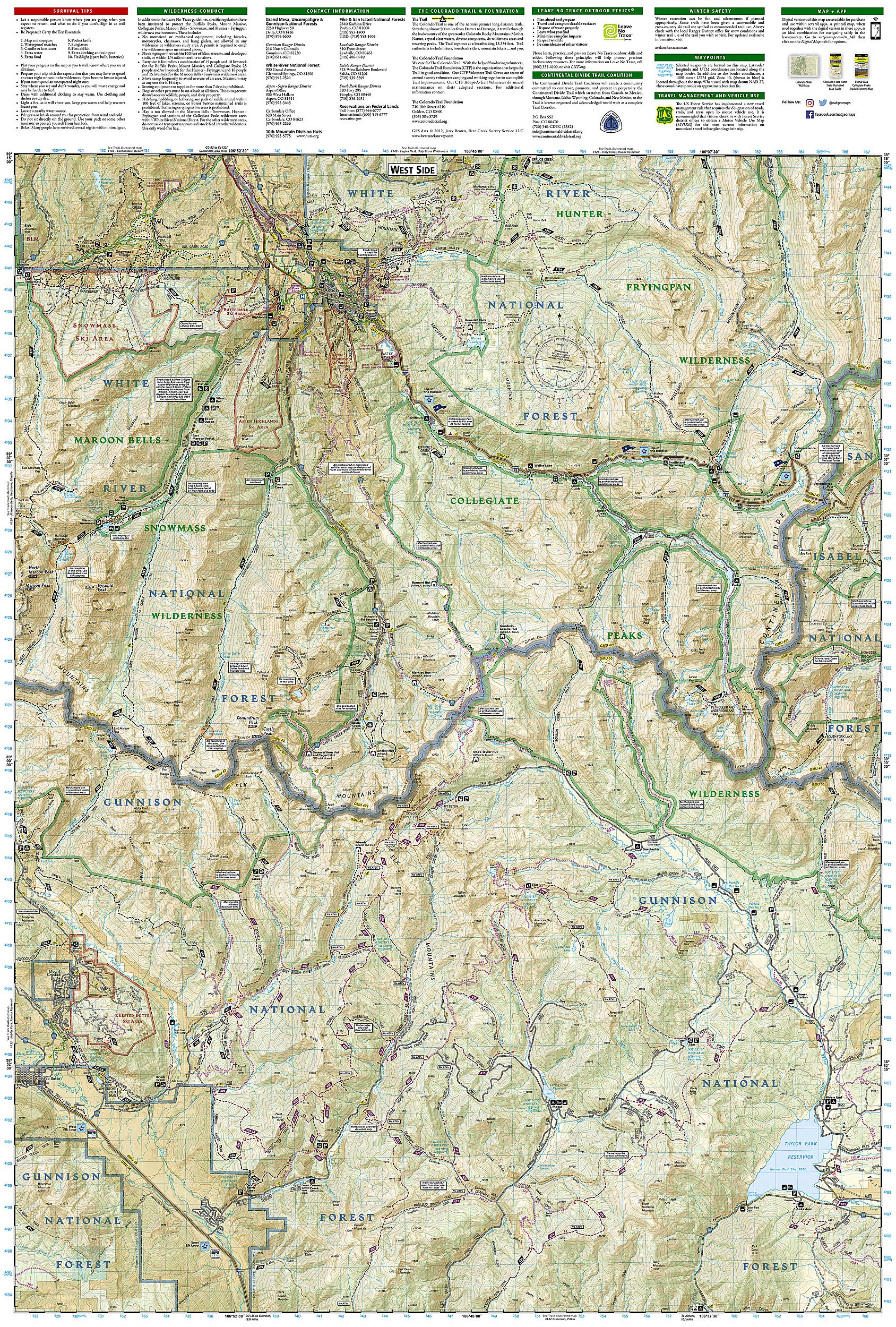
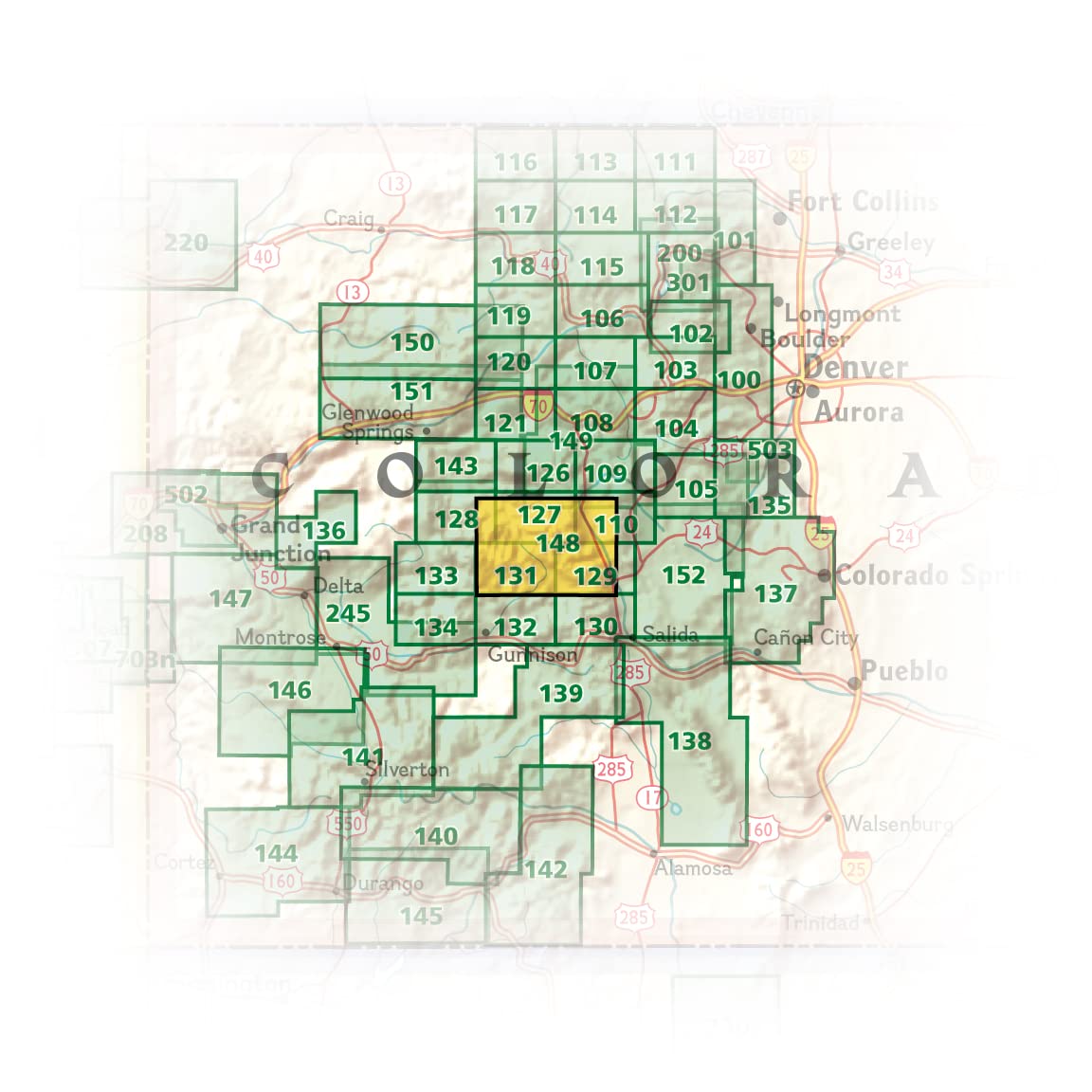

Collegiate Peaks Wilderness Area Map (National Geographic Trails Illustrated Map, 148)
D**W
great map
used for planning elk hunt, really accurate
Z**S
Even better than the rest!
I love these maps, and this particular one covers a large area with many wonderful trails. I was concerned with the large area it covered that the map would be too big or the writing too small, but it's just right.
M**E
Love NatGeo maps
Great map as always
A**R
good map. I loved the material
good map. I loved the material. it made it through the hike, getting wet, folded, and abused and not a single tear. I did get lost while using it, but I blame it more on inexperience than the actual map. Good product
C**G
But worse - in some cases it shows trails where there ...
This map is awful - dangerously awful. First off, it tends to underestimate trail mileage, which is a standard flaw of Nat Geo trail maps. But worse - in some cases it shows trails where there are none. On the east side of Huron Peak, the map shows a trail descending a ridge to Cloyses Lake. Not only is there no trail there, but the ridge is a viciously steep incline that would require ropes to transverse.Also, on the way up Missouri from the west side the trail is off by half a mile in places. It's like they just drew the lines wherever they felt like it.Unfortunately, no one else makes maps of this region, so you're pretty much forced into buying this one. But take the information included with a grain of salt.
M**N
Five Stars
Great Map, super durable for hiking/backpacking
M**A
Four Stars
Perfect!
Trustpilot
2 months ago
1 day ago